Event
EUFAR Webinar commemorating the 25th anniversary
EASW #11
Event coordinator: ZAGAJEWSKI Bogdan
EUFAR Webinar commemorating the 25th anniversary
EUFAR – 25 years of airborne research in Europe.
Achievements, perspectives and opportunities
4 June 2025, 9:00-13:30 (CET; Warsaw-Paris time zone)
Photo gallery (print screens) of the presentations
Moderators: Thomas Ruhtz, Bogdan Zagajewski (EUFAR)
Program:
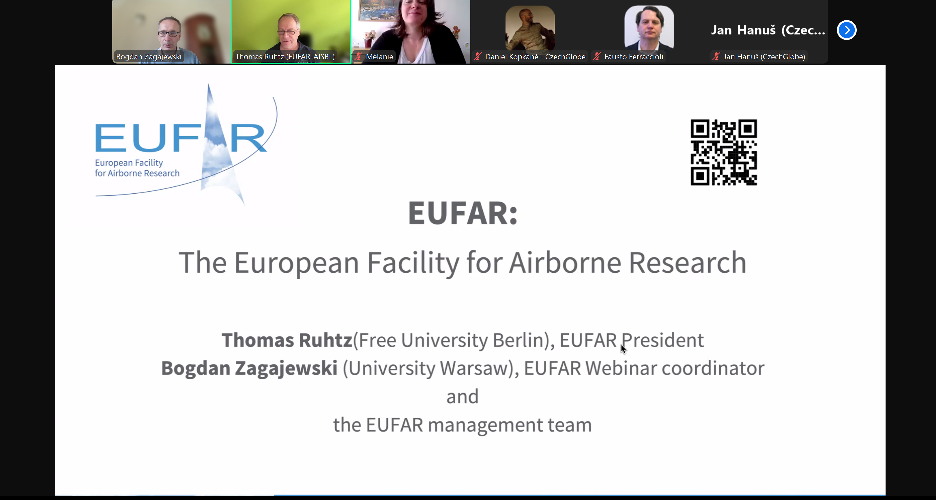
9:00 – 9:25 EUFAR: the European Facility for Airborne Research; Thomas Ruhtz (FUB, Germany), Bogdan Zagajewski (UW, Poland).
9:25 – 9:40 FLIS - Flying Laboratory of Imaging Systems for environmental research; data acquisition and processing; Jan Hanuš (CzechGlobe, Czech Republic).
9:40 – 9:55 OGS airborne remote sensing and aerogeophysics: current status and future plans; Fausto Ferraccioli, Paolo Paganini (OGS, Italy).
9:55 – 10:10 Airborne research facilities exploited for cloud microphysics studies; Magdalena Ardelean, Claudia Dobre & INCAS team (INCAS, Romania), Robert O. David, Tim Carlsen (UoO, Norway), Heike Wex (TROPOS, Germany).
10:10 – 10:25 Probing the Earth’s atmosphere using airborne platforms; Melanie Ghysels-Dubois (CNRS, France).
10:25 – 10:40 Spaceborne, airborne and drone-based water quality monitoring; Liesbeth De Keukelaere (VITO, Belgium).
10:40 – 10:55 Advances in pre-processing of spectral emissivity from TASI thermal imaging spectroradiometer; data processing; Daniel Kopkáně (CzechGlobe, Czech Republic).
10:55 – 11:10 Synergies of airborne hyperspectral, thermal and laser scanning data for urban research; urban application; Daniel Kopkáně (CzechGlobe, Czech Republic).
11:10 – 11:25 Airborne remote sensing applications in municipal solid waste landfill monitoring; Olga Brovkina (CzechGlobe, Czech Republic).
11:25 – 12:00 break
12:00 – 12:15 Eyes in the sky, precision on the ground: drone and satellites for sustainable agriculture; Stephanie Delalieux (VITO, Belgium).
12:15 – 12:30 Airborne image processing for classification of heterogeneous non-forest vegetation in protected areas; Anna Jarocińska, Marlena Kycko (UW, Poland), Dominik Kopeć (UŁ, MGGP Aero, Poland).
12:30 – 12:45 Drones for plant phenotyping; Dries Raymaekers (VITO, Belgium).
12:45 – 13:00 Synergies of airborne hyperspectral and laser scanning data for forest applications; vegetation application; Lucie Homolová (CzechGlobe, Czech Republic).
13:00 – 13:15 Assessment of the airborne HySpex and satellite Sentinel-2 data in identifying tree species in the Tatra Transboundary Biosphere Reserve; Marcin Kluczek, Bogdan Zagajewski (UW, Poland), Tomasz Zwijacz-Kozica (TPN, Poland).
13:15 – 13:30 Application of hyperspectral data for assessing the condition and identification of alpine vegetation along mountain trails; Marlena Kycko, Bogdan Zagajewski, Marcin Kluczek (UW, Poland), Tomasz Zwijacz-Kozica (TPN, Poland).
- Adam Mariana
- Alamús Ramon
- Bárta Vojtěch
- Bresciani Mariano
- Ferraccioli Fausto
- Giagka Eugenia
- Gidarakou Marilena
- LAMINE Salim
- Løke Trond
- Marisaldi Martino
- MATHIEU Eric
- Pascucci Simone
- Pirloaga Razvan
- Stachlewska Iwona
- Stachlewska Iwona
- Švik Marian
- Wang Tiejun
- zhuang ruodan
Orginally published on May 27, 2025, 09:37
Last update on June 11, 2025, 11:02