Research
There are two Joint Research Activities under the current EUFAR 2 contract (2014-2018):
JRA1 - Integration of airborne hyperspectral imagery and laser scanning data to improve image processing and interpretation (HYLIGHT)
The main objective of the HYLIGHT joint research activity is to improve hyperspectral imaging (HSI) processing using (full-waveform) airborne laser scanning (FW) ALS, and (FW) ALS processing using HSI for the benefit of the (EUFAR Transnational Access) scientific users. HYLIGHT tools will be developed and made accessible via the EUFAR toolbox (developed in the EUFAR activity - Standards & Protocols). HYLIGHT developments will also serve to contribute to the EUFAR handbook with a chapter on “Integrating airborne hyperspectral imagery and (full-waveform) laser scanning data for improved image processing and interpretation”.
Information (e.g. structure classes or slope) deduced from (FW) ALS will be used at the following and/or other levels:
- to improve the geometric correction of HSI images using DTM/DSM derived from (FW) ALS;
- to improve the atmospheric correction of HSI using slope deduced from (FW) ALS;
- to improve the visibility estimation used for the atmospheric correction of HSI data based on dense dark vegetation (Richter, 2006) using structure information derived from (FW) ALS;
- to determine structure class specific kernels to improve the BRDF correction (currently kernels for BRDF correction are defined for very broad land use/ land cover classes; from (FW) ALS, structure class specific kernels can be deduced);
- (FW) ALS for BRDF correction at tree level.
On the other hand, HSI data can be used to identify different cover types and this information can then be used for improvement or validation of (FW) ALS derived products such as canopy cover, sub-canopy topography and/or vertical distribution canopy material; and it can also be used to improve (FW) ALS classification. Beside an improved quality of the Level 2 HSI products, Level 3 HSI products will benefit as well when integrated with (FW) ALS data. Forestry applications, in particular, will benefit from the combination of spectral characteristics from HSI data with structural information from (FW) ALS, potentially resulting in improved classification of species types. For example, height information deduced from ALS can be used as an extra layer in the classification process to distinguish more classes and to increase the classification accuracy.
To download the HYLIGHT tools, click here. To download the HYLIGHT tools flyer, click here.
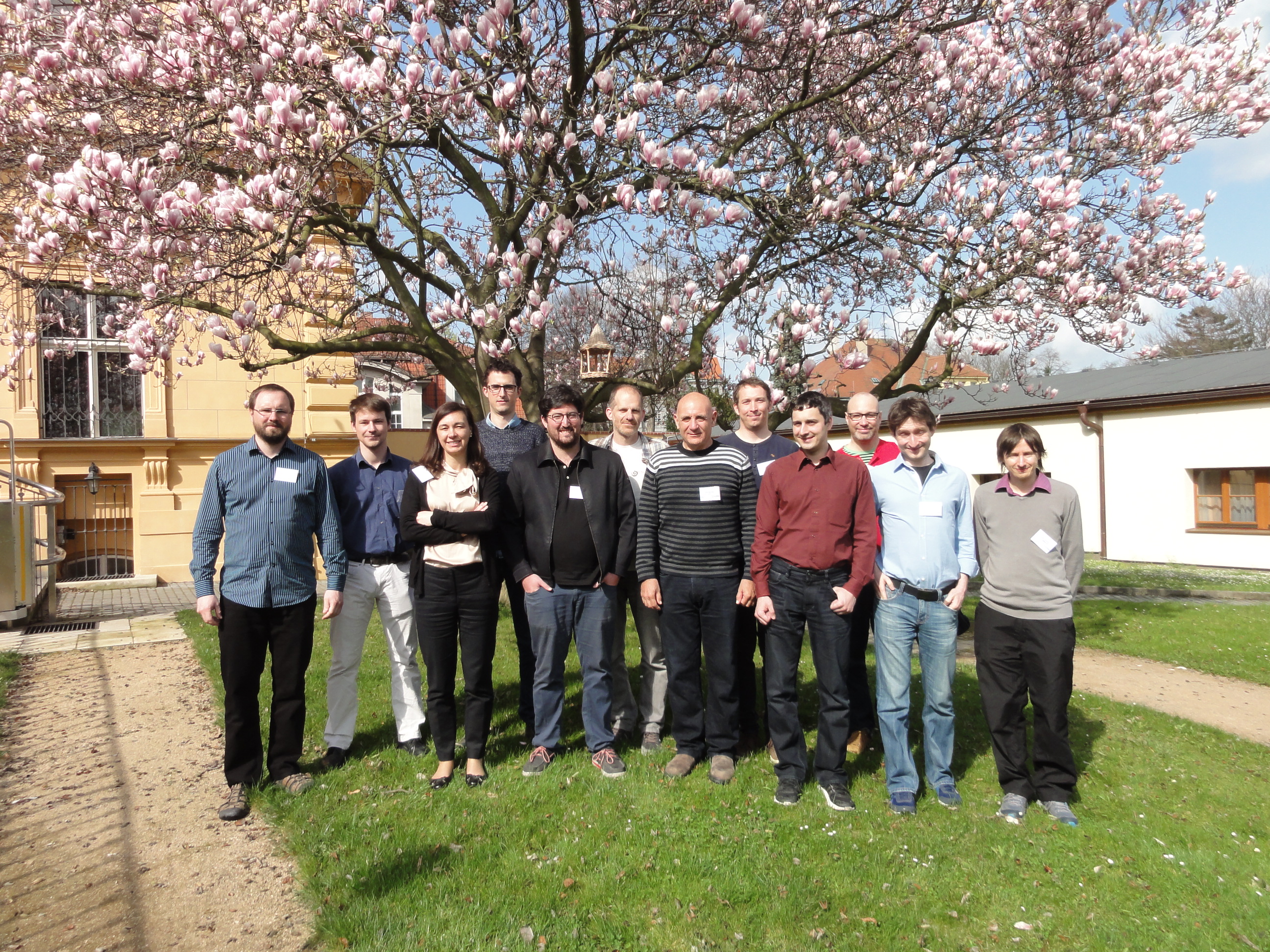
Photo of HYLIGHT working group, with members from 9 EUFAR partners (TU Vienna, VITO, ONERA, TAU, PML, UZH, CzechGlobe, INTA and DLR)
For more details, contact:
JRA1 Activity Coordinator - Ils Reusen
Flemish Institute for Technological Research (VITO), Belgium
E-mail: ils.reusen@vito.be
JRA2 - Traceability in Gas-phase Observations in EUFAR (TGOE)
The TGOE joint research activity will develop robust calibration systems for the core gas-phase chemical measurements currently made on-board research aircraft. It will reduce the uncertainty in these key parameters and will facilitate improved cross platform research by ensuring that the measurement technologies are all tied to a common baseline. Comparison to numerical models and satellite observations will also be critical beneficiaries of the output from TGOE.
This work package will work in three distinct phases, phase one (months 1-18) the development of standardised measurement procedures, the second phase (months 25-36) with establish transportable units for achieving traceability and the final phase (months 37-48) be the dissemination of the protocols and procedures developed to the wider community, through access to the TGOE database and literature.
For more details, contact:
JRA2 Activity Coordinator - Jim McQuaid
School of Earth & Environment
University of Leeds, United Kingdom
E-mail: J.B.McQuaid@leeds.ac.uk
Completed Joint Research Activities under EUFAR FP7 (2008 - 2013)
- JRA1 - Development and evaluation of new and improved hygrometers for airborne research (DENCHAR)
- JRA2 - Quality layers for airborne hyperspectral imagery and data products (HYQUAPRO)
- JRA3 - Airborne Laser Interferometric Drop Sizer (ALIDS)
For a summary of the three activities, click here.